- Licence
- 202300781
- Access no.
- 3444374
- Location
- Kayaeli · Kepsut · Balıkesir
- Area
- 478.33 ha
- Target metals
- Ag · Cu
- Belt
- Biga–Balıkesir belt
- Detailed Exploration Period
- Granted by MAPEG letter of 27.03.2026 · valid to 27.03.2030
- Best grade as filed
- 9,381.8 ppm — Cu, hand-drilled hole EK1 (Nov 2025); Ag 67.18 ppm in the same sample
- Centroid (WGS84)
- 39.7720° N, 28.3100° E
- Map sheets
- I20B4 · I20C1
- Detailed Exploration budget
- 5,000 m · 7.59 m TRY
Geology
Karakaya Complex — arkosic sandstone and claystone, Orhanlar greywacke, the green basaltic rocks and tuffs of the Mehmetalan formation, spilitic basalt, agglomerate and tuff of the Çal formation, capped by Camialan limestone, with Permo-Carboniferous limestone blocks riding through as olistoliths. Schist, quartzite, granite and basalt are mapped across the licence.
Work completed
Geological mapping, hand-core drilling and core sampling
Source: the Genel Arama Dönemi Faaliyet Raporu filed for licence 202300781; assays by ArgeTest Laboratuvarı, Ankara, codes FA02 / GAR01-ext. The licence boundary is 3 separate parcels in the filed KMZ.
The filed reports carry a “muhtemel rezerv” (probable reserve) calculation under Turkish Mining Law 3213. It is not a Mineral Resource or Ore Reserve under JORC or NI 43-101, no Competent or Qualified Person has signed it, and it is neither an estimate of what the ground holds nor a limit on it. The figures are in the data room.
The ground
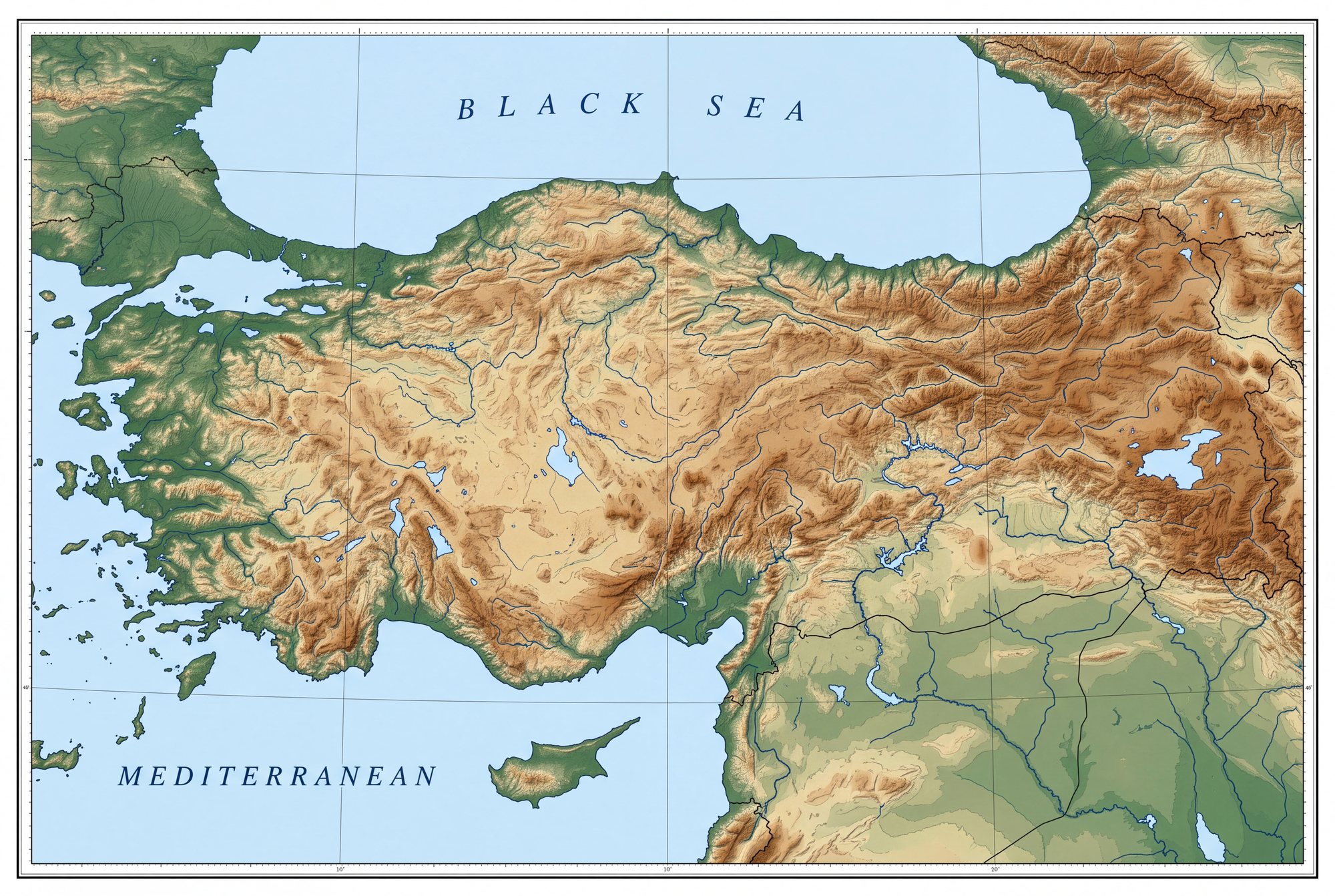
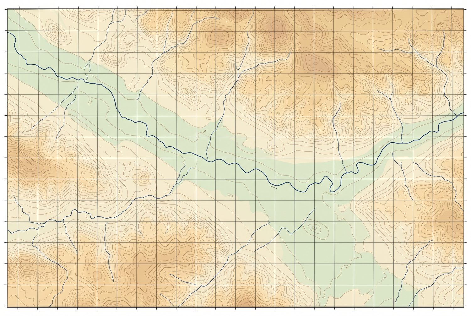
On the map
The other three